The weather forecast was pretty bad, so we decided to travel east. We drove past Akureyri and stopped in Husavík at the Café Hérna (highly recommendable!). In 2014 we did a whale watching tour from Husavík. That trip was actually quite successful, but I felt so sick I don’t even remember having seen a whale…
Die Wettervorhersage war schlecht, deshalb entschlossen wir uns in den Osten weiterzufahren. In Husavík machten wir Halt im Café Hérna (sehr empfehlenswert!). 2014 unternahmen wir von Husavík aus eine Wal-Safari, welche eigentlich sehr erfolgreich war, aber ich erinnere mich an keinen einzigen Wal mehr, weil ich so seekrank wurde…
Even the sun came out a bit.
Auf der Weiterfahrt schien sogar die Sonne.


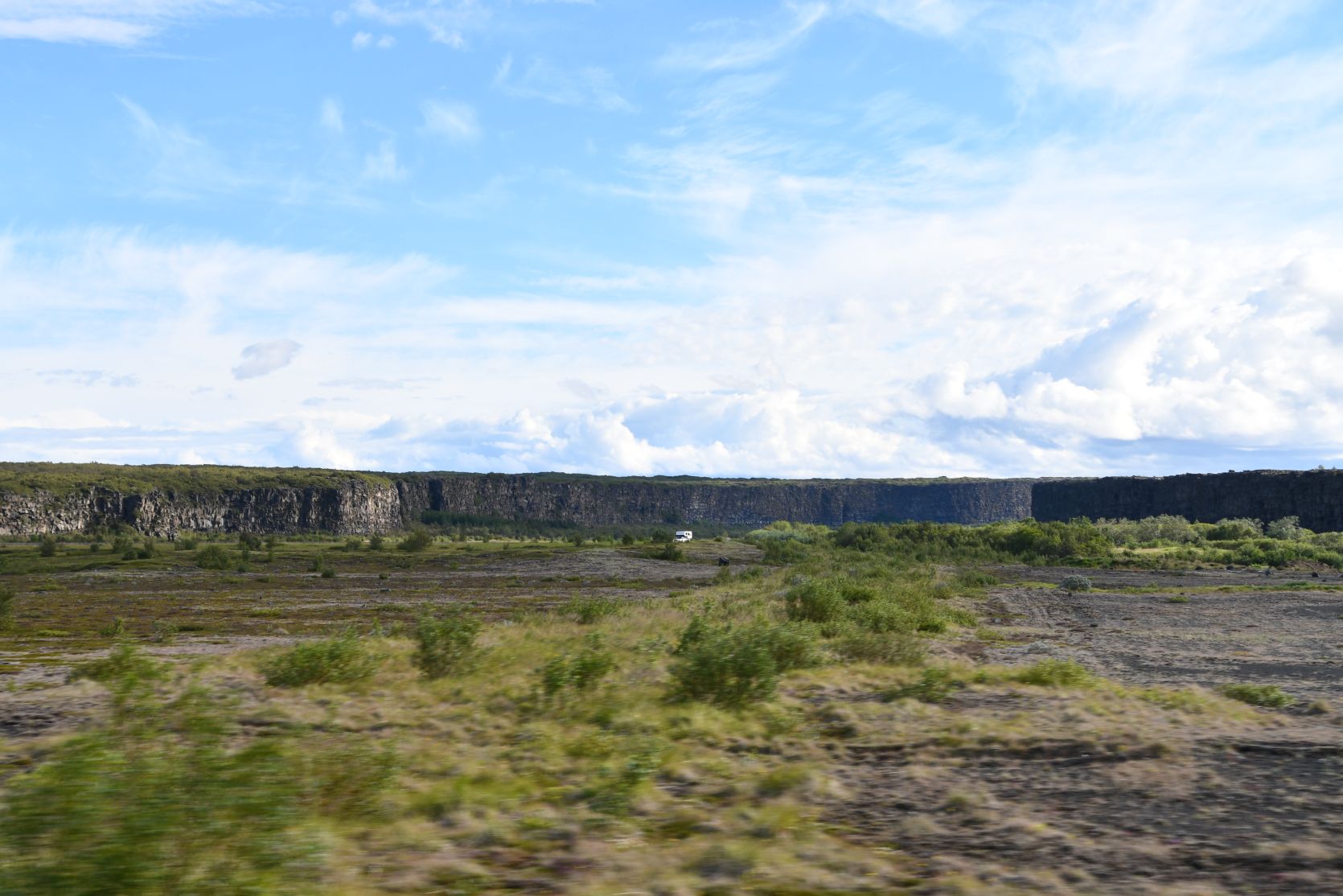
We didn’t stop at Ásbyrgi. Ásbyrgi is a horseshoe-shaped canyon with a distinctive rock formation in the middle of it. It’s a lovely place to walk in, and it’s the capitol of the little folk and therefore also very mystic. Last year we did plenty of hikes in that region, including one that took us through a very special landscape and to a splendid viewpoint high above the river Jökulsá á Fjöllum. From Ásbyrgi one can also drive to Dettifoss and the waterfalls next to it, as well as to Hljóðaklettar (echo rocks).
Wir machten nicht einmal in Ásbyrgi Halt. Ásbyrgi ist eine hufeisenförmige Schlucht mit einem markanten Fels in der Mitte . Es ist ein wunderschöner Ort zum wandern, und auch sehr mystisch, weil es die Elfenhauptstadt ist. Letztes Jahr unternahmen wir ein paar Wanderungen in dieser Gegend, unter anderem eine durch eine sehr spezielle Landschaft und zu einem herrlichen Aussichtspunkt über den Fluss Jökulsá á Fjöllum. Von Ásbyrgi erreicht man gut den Dettifoss und die Wasserfälle daneben, sowie die Echofelsen Hljóðaklettar.
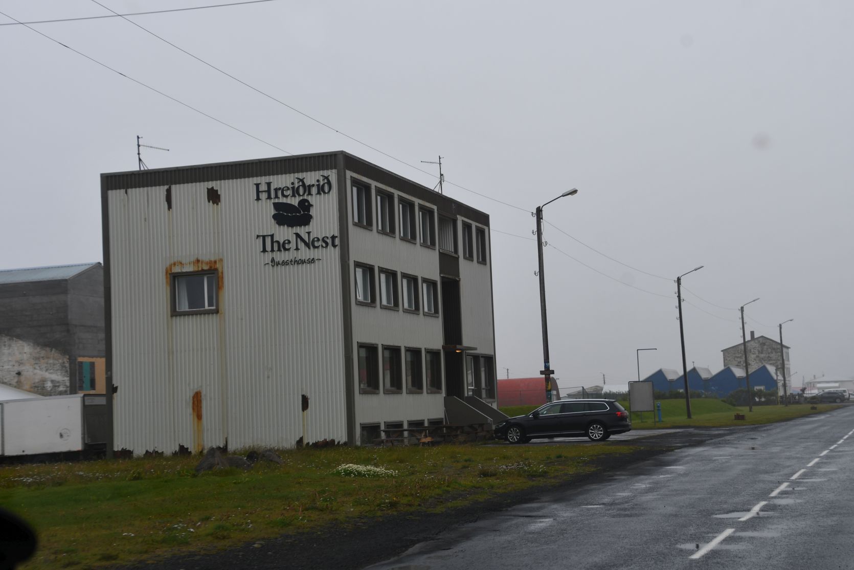
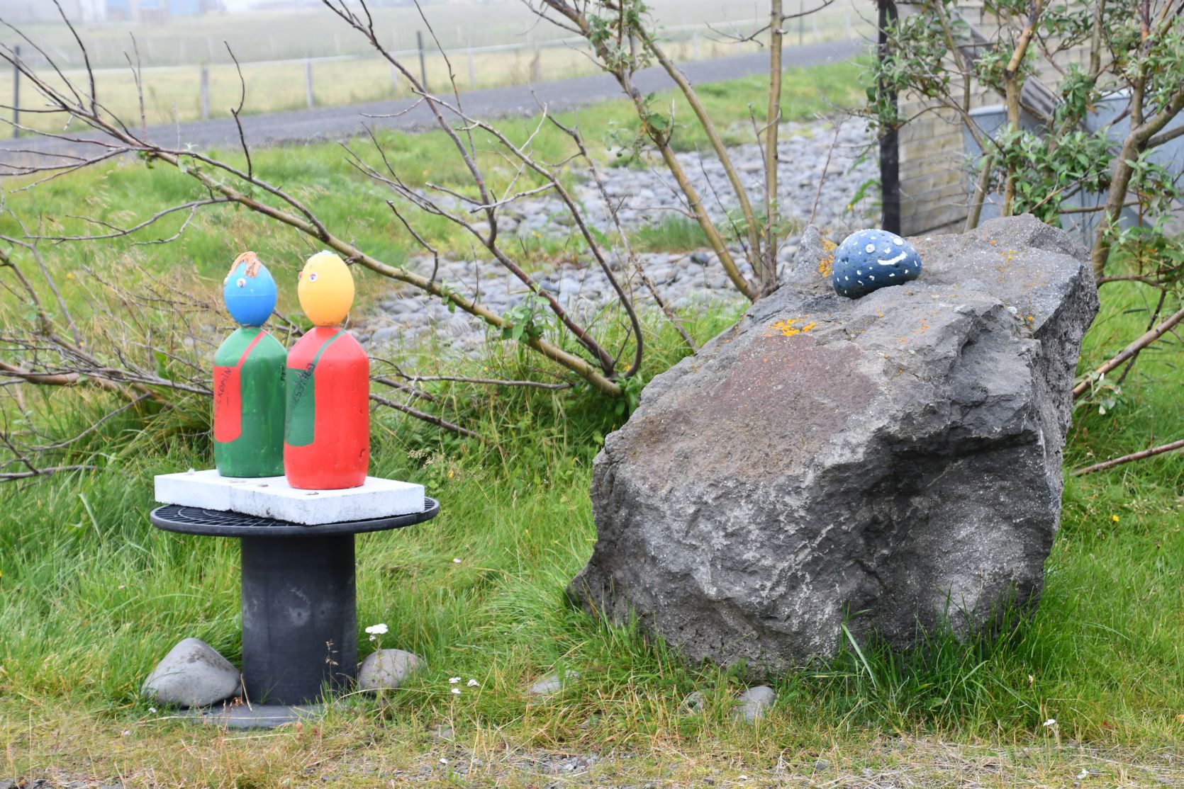
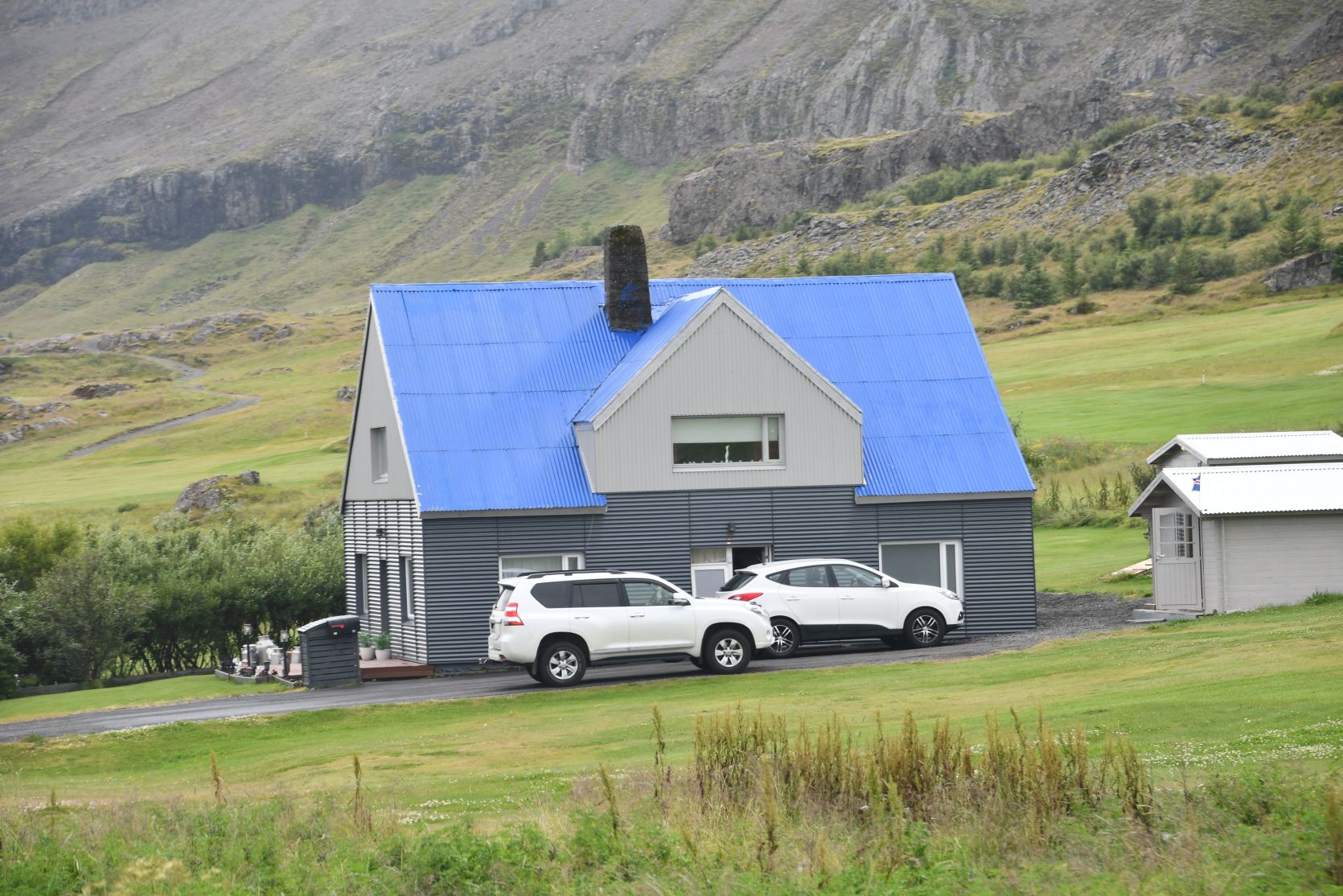
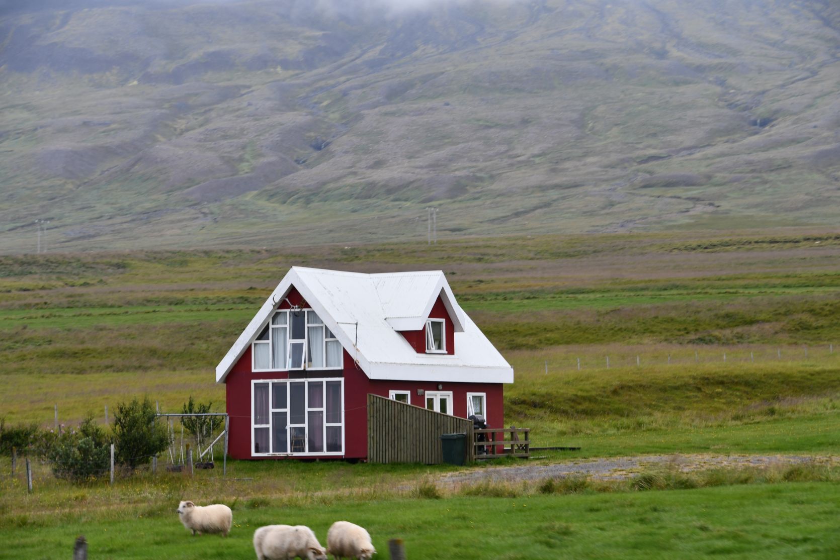
In Kopasker we stopped for the night, They have funny figures standing in the fields, like scarecrows.
Wir übernachteten in Kopasker. Dort gibt es lustige Figuren in den Feldern, wie Vogelscheuchen.

The buildig on the photo on the left contains a shop, a restaurant, a wine shop, a bank and a post office 😉 The photo on the right shows the campsite.
Das Gebäude auf dem Foto links beinhaltet einen Laden, ein Restaurant, einen staatlichen Alkoholladen, eine Bank und eine Post 😉 Auf dem Foto rechts sieht man den Campingplatz.


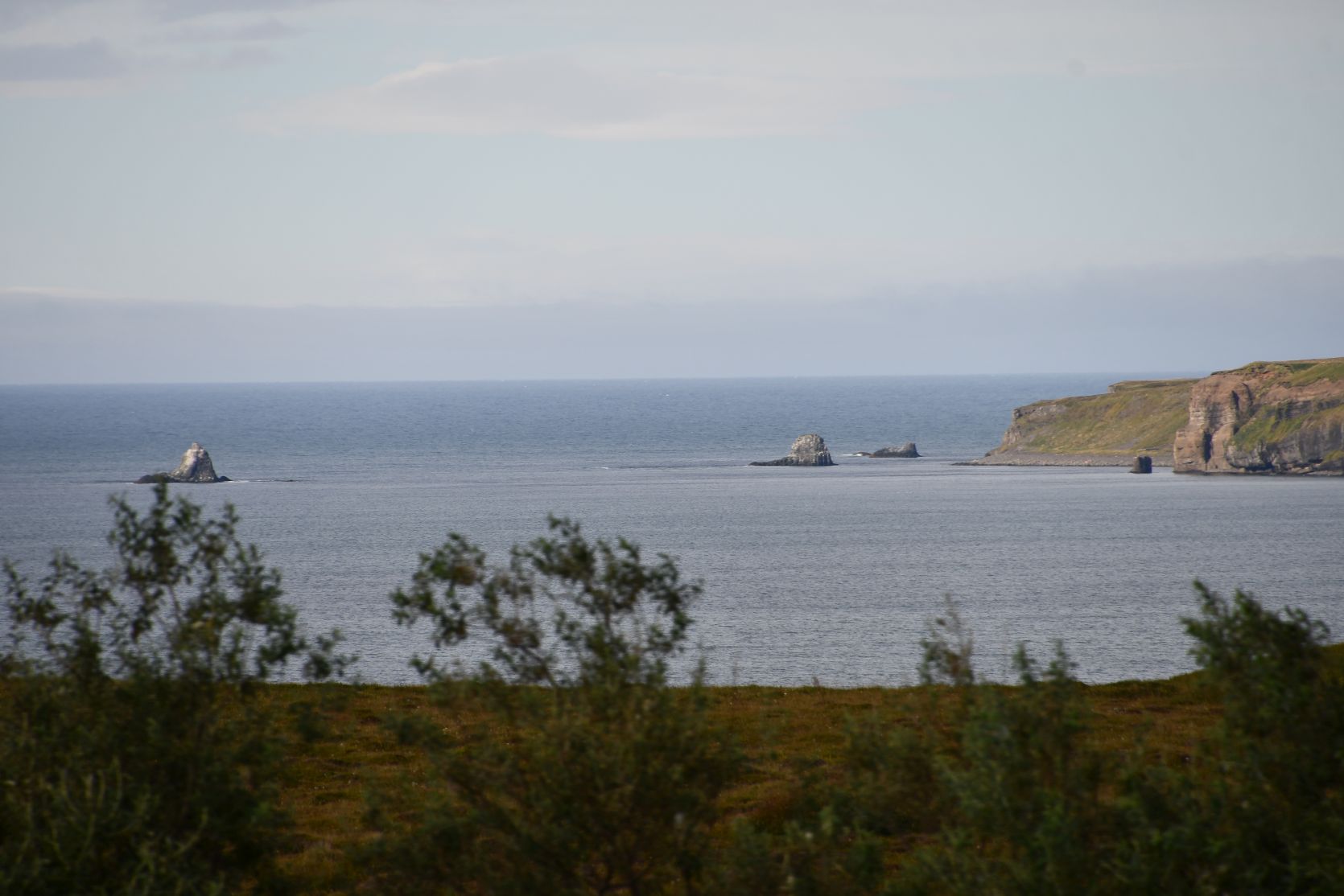
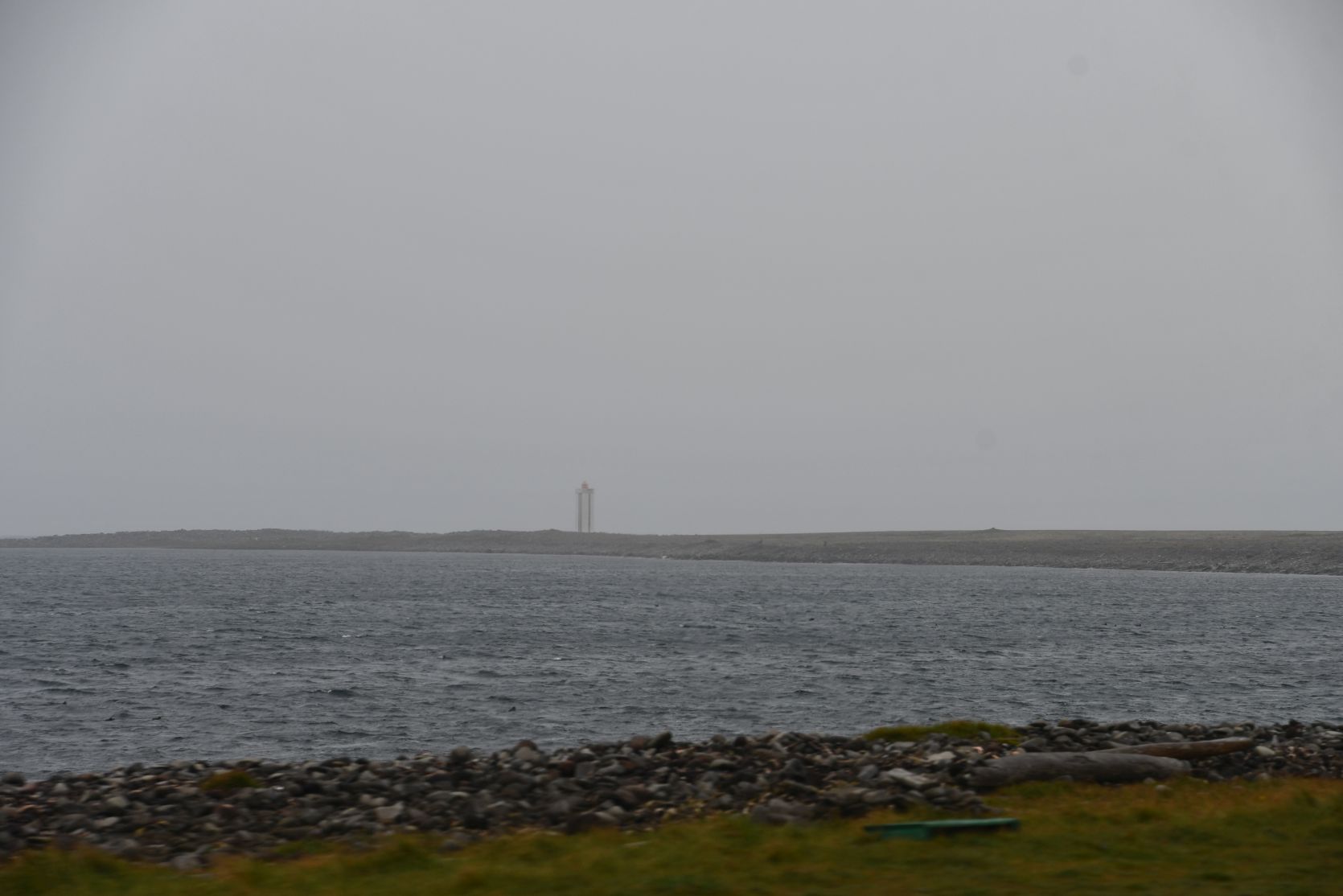
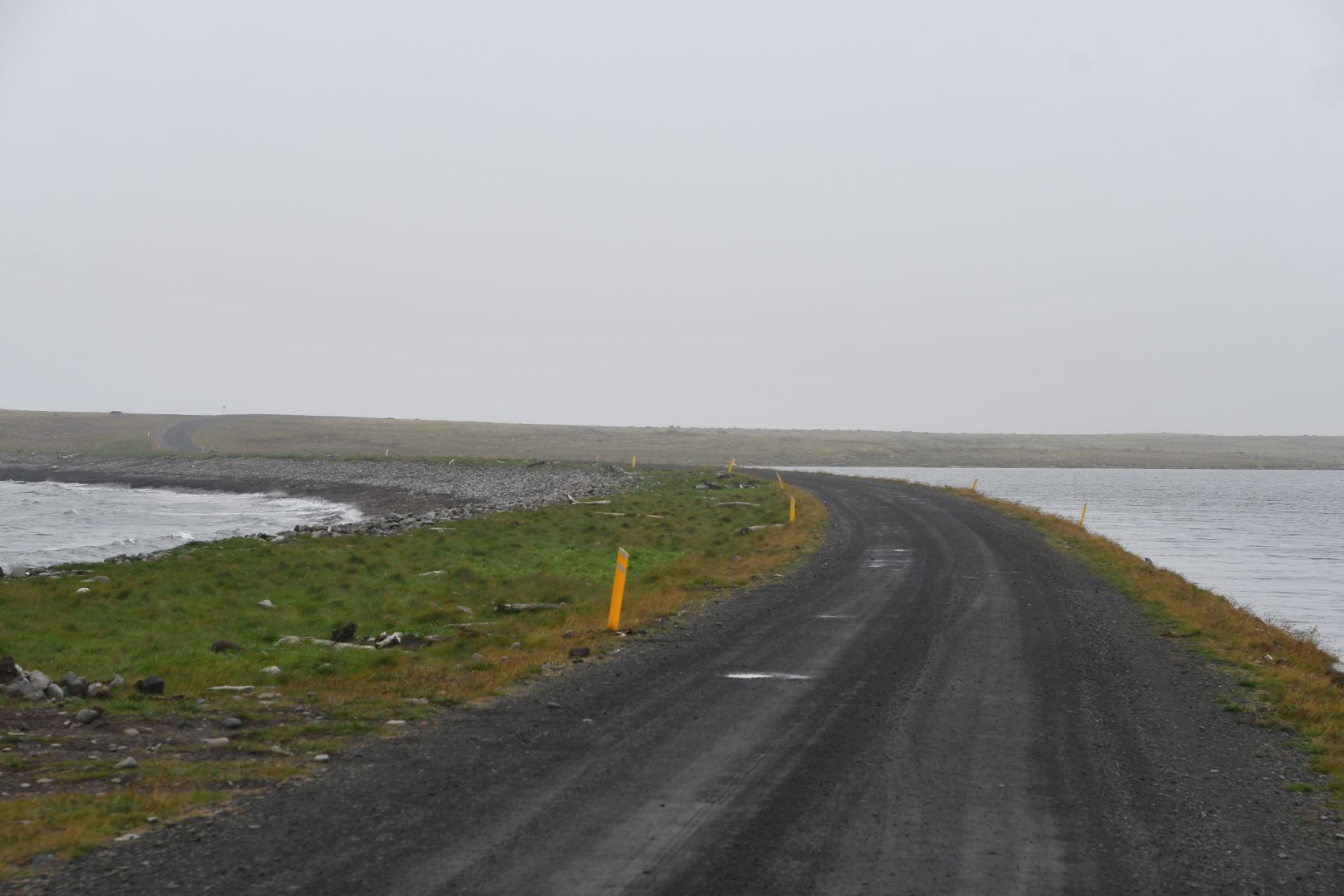
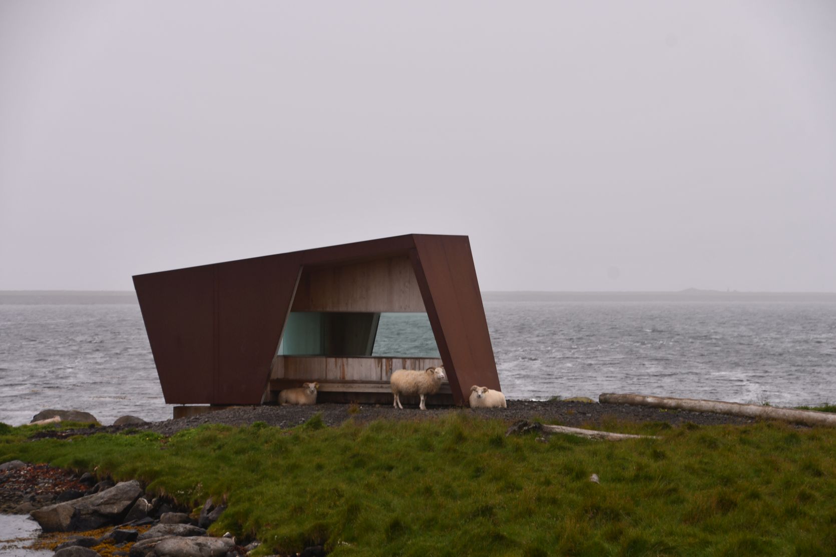
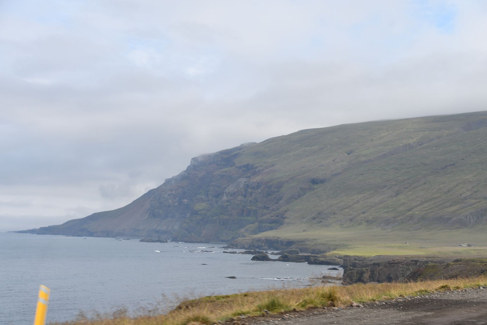
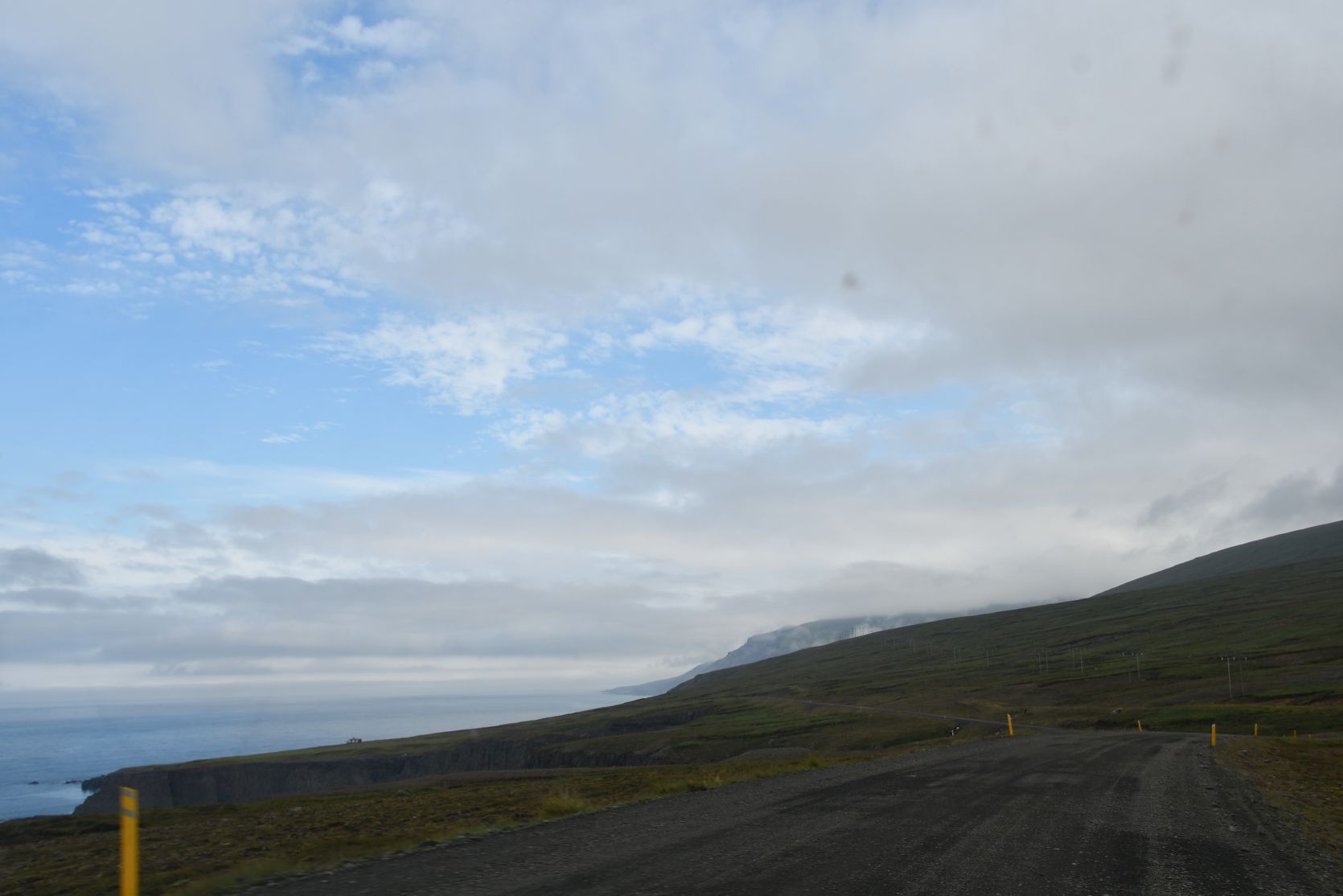
The weather got worse. We circled the peninsula that has the most northern point of Iceland (apart from the island of Grimsey). The lighthouse marks the spot, more or less. Last year we also visited Rauðinúpur: there is a big rock in the sea with hundreds of gannets!
Das Wetter wurde schlimmer. Wir umrundeten die Halbinsel mit dem nördlichsten Punkt von Island (abgesehen von der Insel Grimsey). Der Leuchtturm kennzeichnet diesen Punkt. Letztes Jahr besuchten wir auch Rauðinúpur: ein riesiger Fels mit hunderten von Basstölpeln!
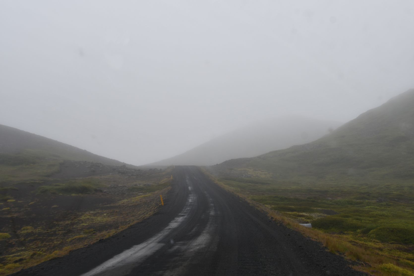
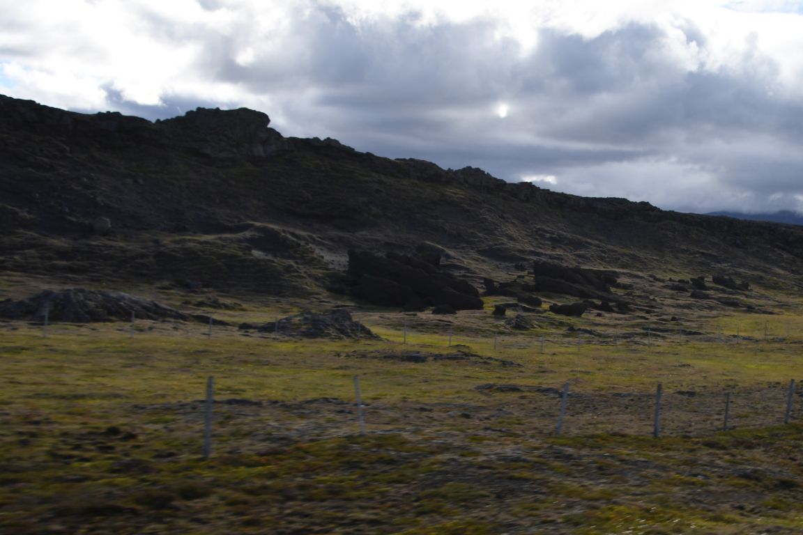
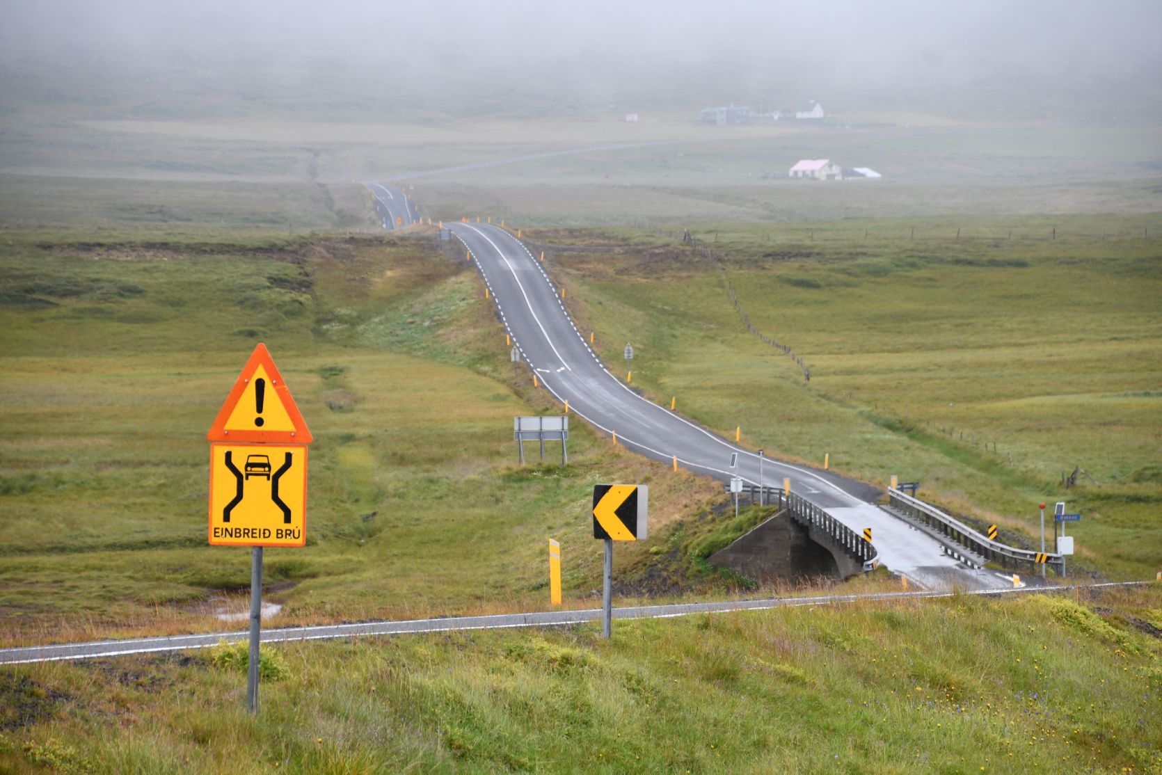
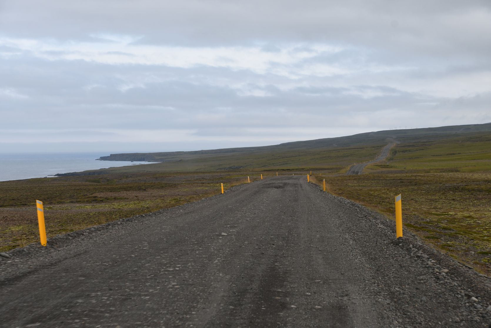
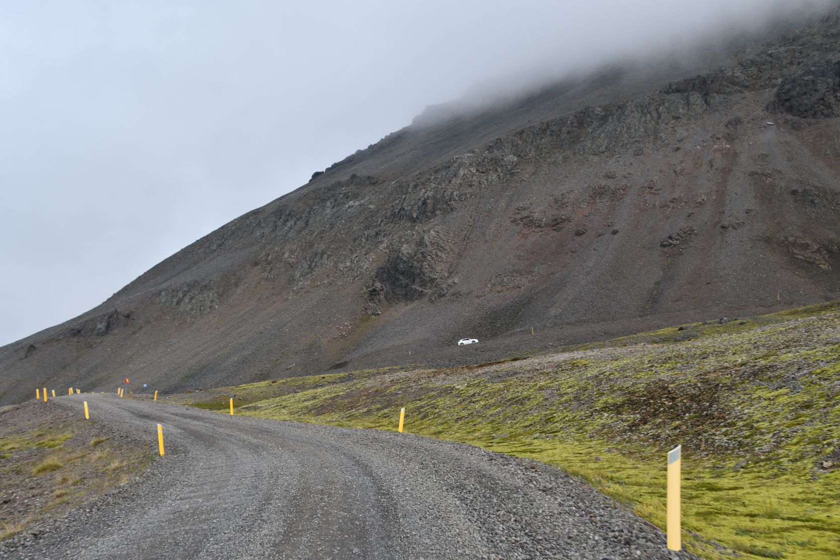
The road up there is very bad, it feels like driving on a washboard. In Raufarhöfn is the Arctic Henge, a modern monument made of stone, worth a visit. The name derives from Stonehenge. We already saw it a couple of times though and drove past it this time…
Die Strasse dort oben ist sehr schlecht, man fühlt sich wie auf einem Waschbrett. In Raufarhöfn ist die Arctic Henge, ein modernes Denkmal, errichtet aus Steinen. Der Name ist angelehnt an Stonehenge. Wir haben es bereits ein paar Mal besucht und fuhren diesmal vorbei…

A little pensinsula called Rauðanes is excellent for a hike, with its volcanic arches, basalt rock formations, stacks and caves! Been there – done that 🙂 This time we drove on, all the way to Þorshöfn.
Rauðanes ist eine kleine Halbinsel und absolut empfehlenswert für eine Wanderung. Es gibt dort Felsbogen, Basaltsäulen, Höhlen, Felsnadeln und andere Felsformationen. Wir waren die letzten zwei Male dort 🙂 Dieses Mal fuhren wir weiter bis Þorshöfn.
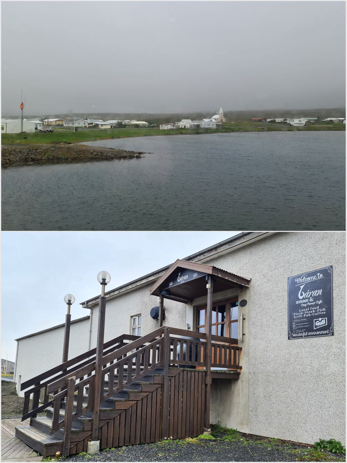
Our favourite restaurant there is called Báran. We got talking to a waitress from Estonia. She doesn’t like the Icelandic winters… Apparantly in Estonia it can get to minus 25°, but that doesn’t feel as cold as the minus 5° in Iceland, because of the wind! She also told us that most restaurants are closed in winter – the locals go to the petrol stations if they fancy a meal out. Her wages are about double to what they are in Estonia!
Unser Lieblingsrestaurant dort heisst Báran. Wir schwatzten mit der Kellnerin. Sie findet die isländischen Winter viel zu kalt. In Estland kann es bis zu minus 25° werden, aber das fühle sich wärmer an als die minus 5° in Island, wegen dem Wind! Sie erzählte uns auch, dass die meisten Restaurants im Winter geschlossen sind – die Einheimischen essen im Tankstellen-Restaurant, wenn sie auswärts essen wollen. Ihr Lohn sei ungefähr doppelt so hoch wie in Estland!

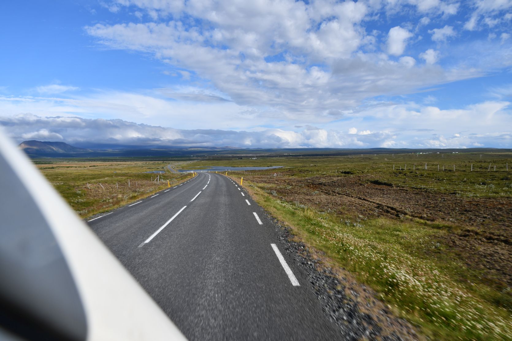
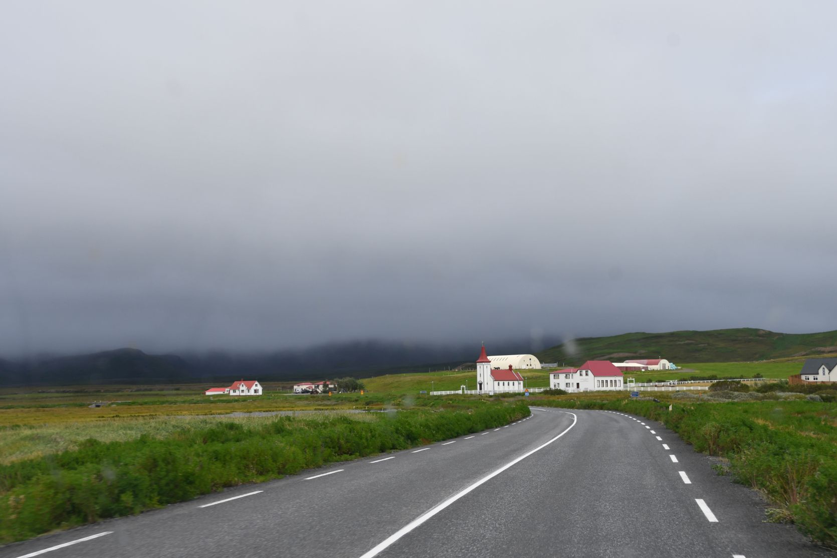
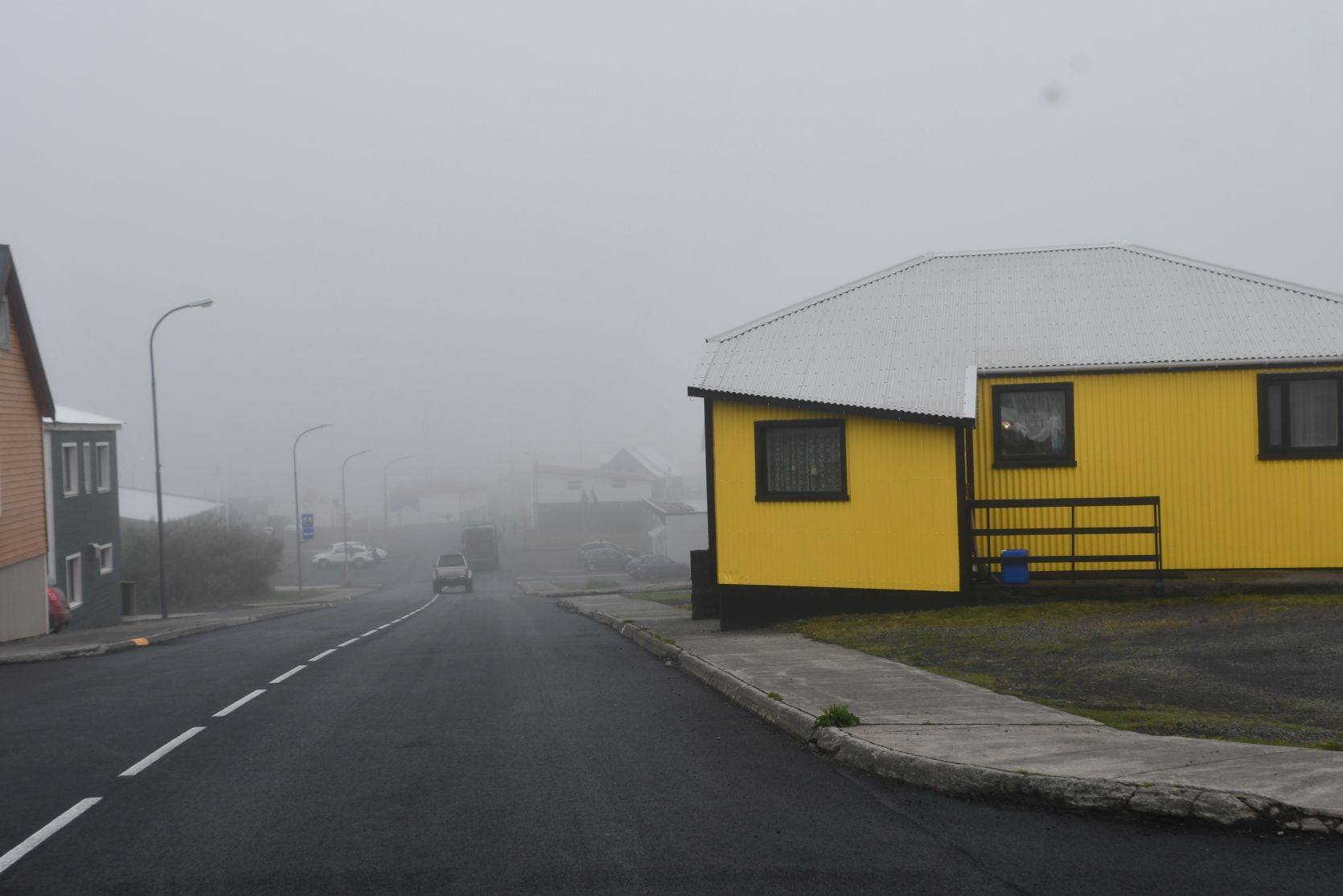
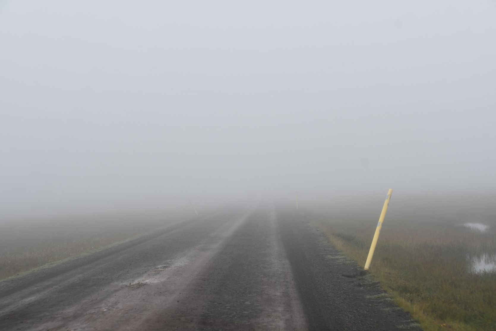
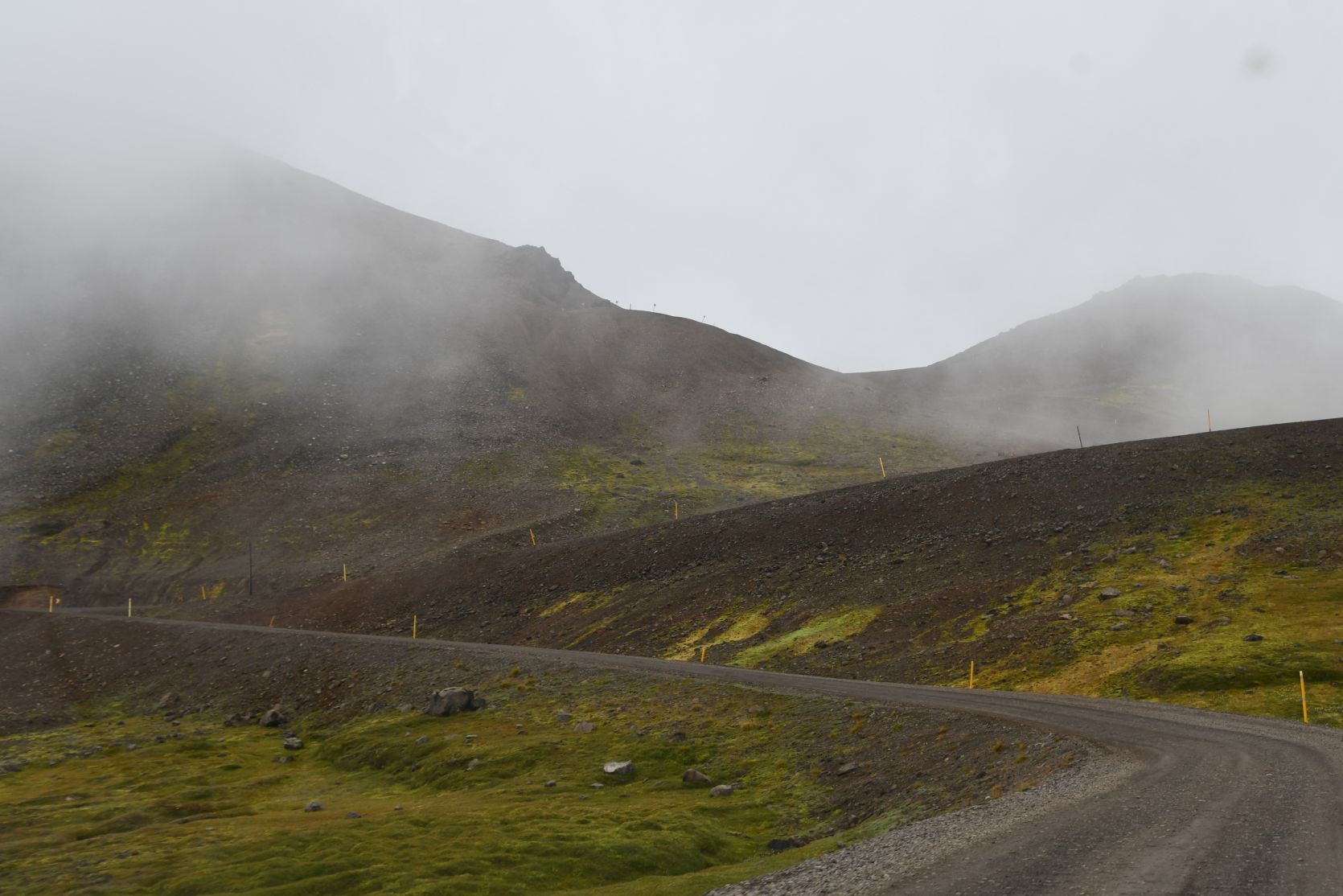
The next day we drove south. It started with a lot of fog 😦
Am nächsten Tag fuhren wir weiter gegen Süden. Es begann mit viel Nebel 😦

Past Vopnafjörður it brightened up. The coast there is lovely, with stacks, great rock formations and an imposing waterfall, the Gljufurarfoss! This time, again, we drove past.
Nach Vopnafjörður wurde es heller. Die Küste dort ist herrlich, mit Felsnadeln, schönen Felsformationen und einem imposanten Wasserfall, dem Gljufurarfoss! Dieses Mal fuhren wir aber daran vorbei.

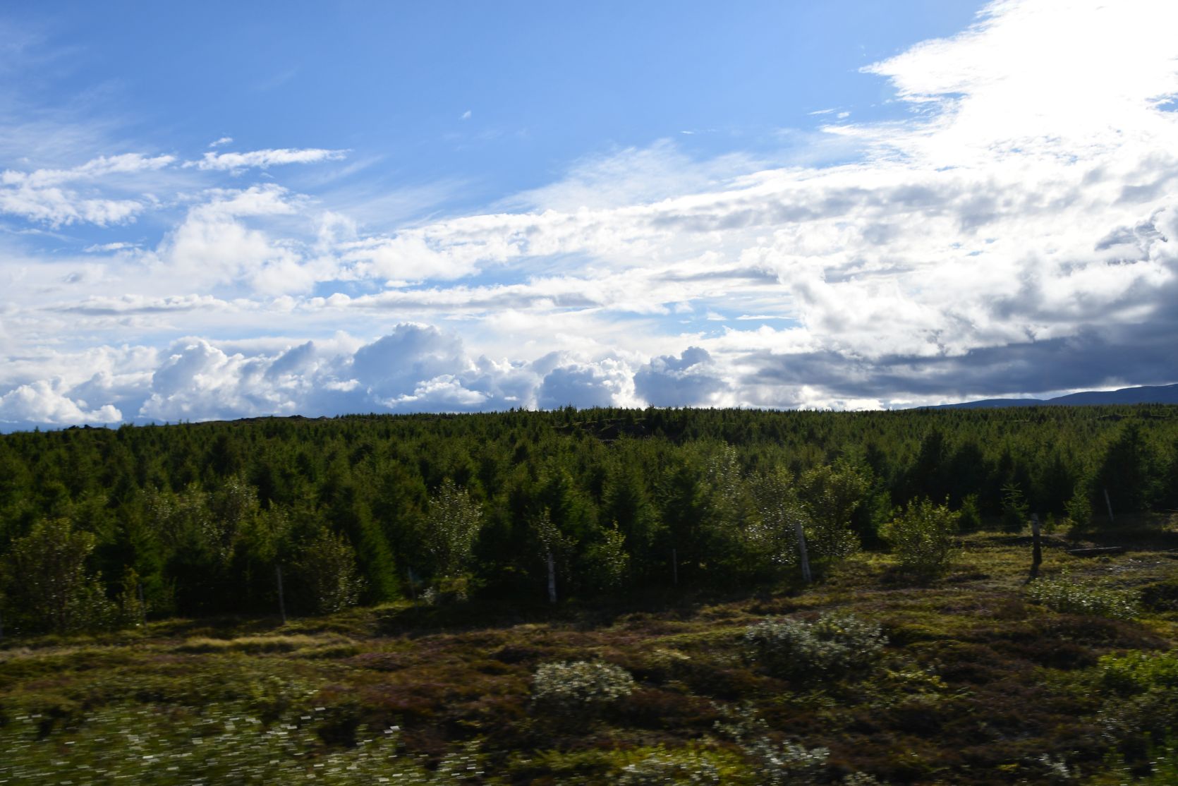
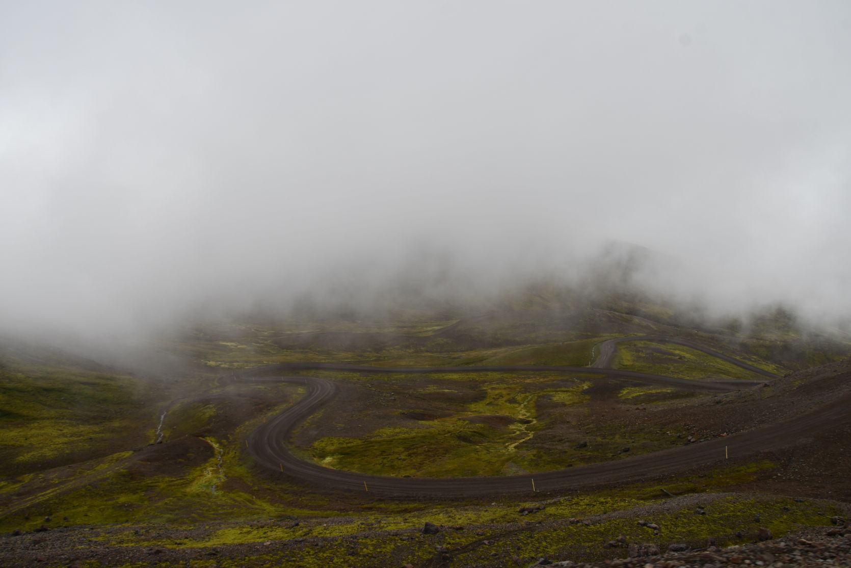
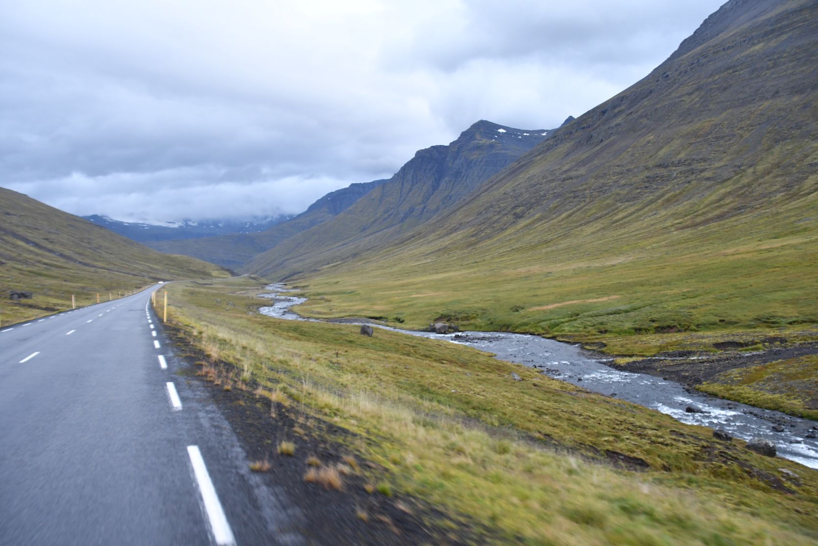
Instead of taking the easy road, we drove on the scenic one over Hellisheiði.
Statt der bequemen Strasse nahmem wir die landschaftlich reizvollere über Hellisheiði.


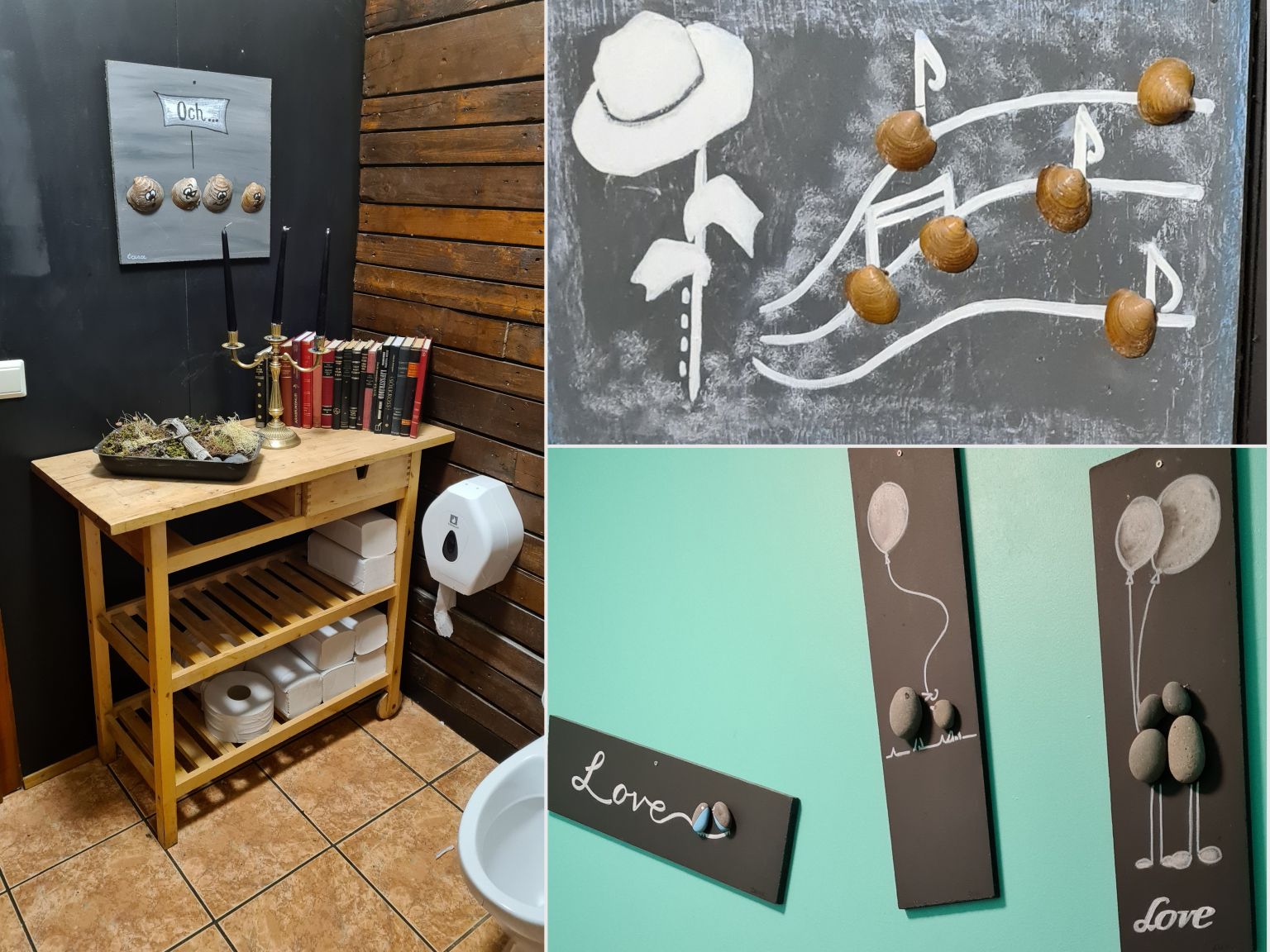
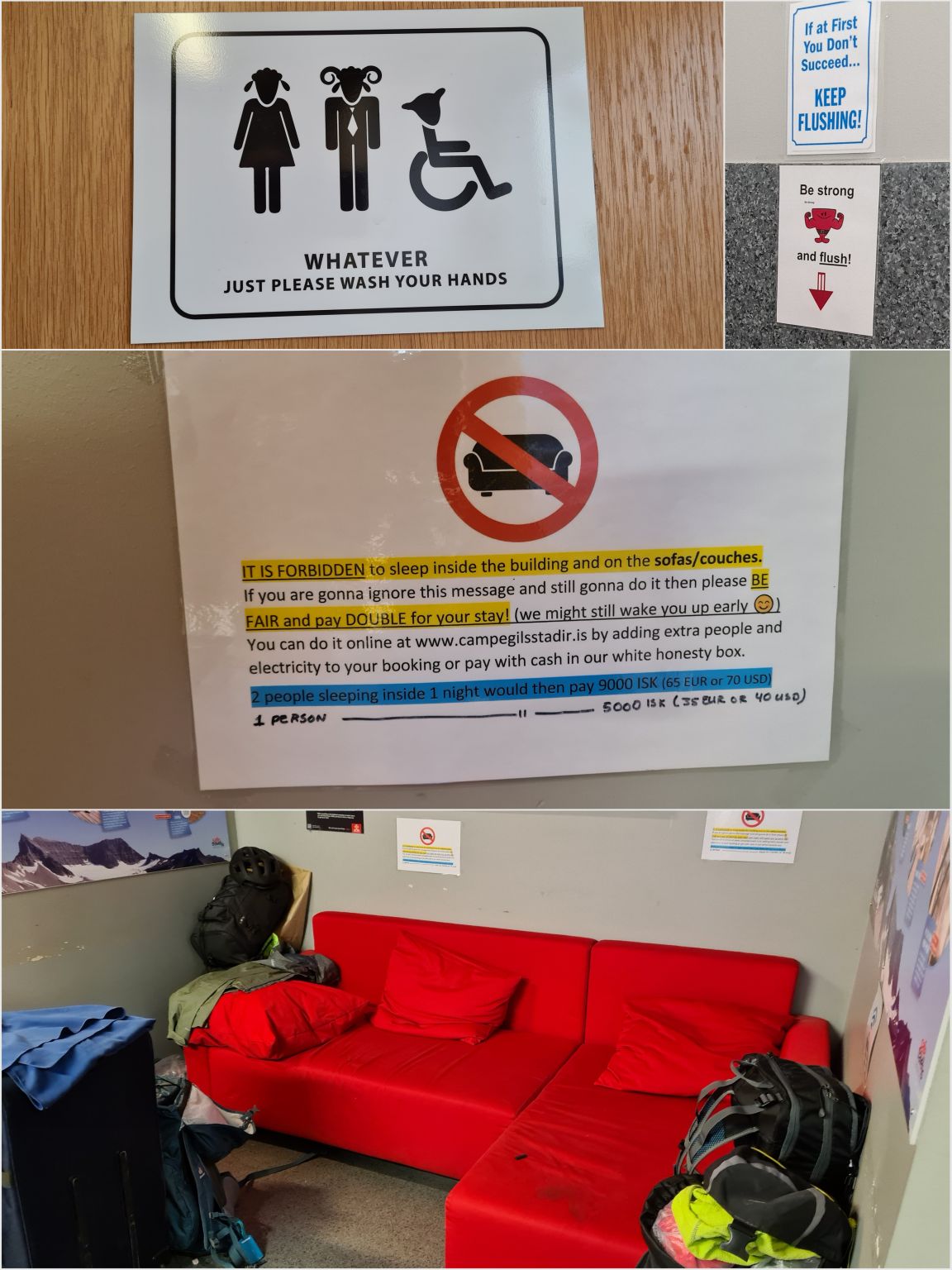
In Egilsstaðir we stopped to do some washing. We waited in the Tehúsið until the wash was finished. Some signs caught our attention 😉
Near Egilsstaðir there are a few sights that are worth visiting. We saw them on our last couple of visits, but they are worth mentioning here. Along the lake Lagarfljót and then up into the highlands (on a tarmaced road!) lies Laugarfell, a great place with a natural hot tub, plenty of lovely hikes to do, and some excellent waterfalls! On the north side of Lagarfljót are two magnificent waterfalls, the Hengifoss and the Litlanesfoss. On the south side of the lake is a wooded area with a few hikes.
In Egilsstaðir haben wir einen Stopp eingelegt, um die Wäsche zu waschen. Im Tehúsið warteten wir, bis das Waschprogramm fertig war. Einige Schilder fielen uns auf 😉
In der Nähe von Egilsstaðir gibt es ein paar Sehenswürdigkeiten. Wir haben sie bei unseren letzten zwei Island-Ferien besucht, aber sie verdienen es, hier erwähnt zu werden. Dem See Lagarfljót entlang, dann rauf ins Hochland (auf asphaltierter Strasse!) liegt Laugarfell, ein genialer Ort mit einem natürlichen Hottub, vielen schönen Wandermöglichkeiten und einigen grossartigen Wasserfällen! Auf der nördlichen Seite des Lagarfljót gibt es zwei herrliche Wasserfälle, den Hengifoss und den Litlanesfoss. Auf der nördlichen Seite des Sees ist ein recht grosser Wald mit einigen Wanderwegen.

We then carried on to Reyðarfjörður. Halfway on that road is a turnoff to Mjóifjörður. Last year we went to this secluded fjord, and it was gorgeous! There are some great waterfalls, the Klifbrekkufossar. Before the village in that fjord joined with a couple of other villages, it was the smallest community of Iceland, with only 42 residents. In winter this fjord is not always accessible by car, only twice a week by ferry.
Dann fuhren wir weiter nach Reyðarfjörður. Auf dieser Strasse ist eine Abzweigung zum Mjóifjörður. Letztes Jahr waren wir in diesem einsamen Fjord, und es war grossartig! Es gibt wunderschöne Wasserfälle, die Klifbrekkufossar. Bevor die dortige Siedlung mit anderen Gemeinden fusionierte, war es mit nur 42 Einwohnern die kleinste Gemeinde von Island. Im Winter ist der Fjord nicht immer via Strasse erreichbar, nur zweimal wöchentlich mit der Fähre.

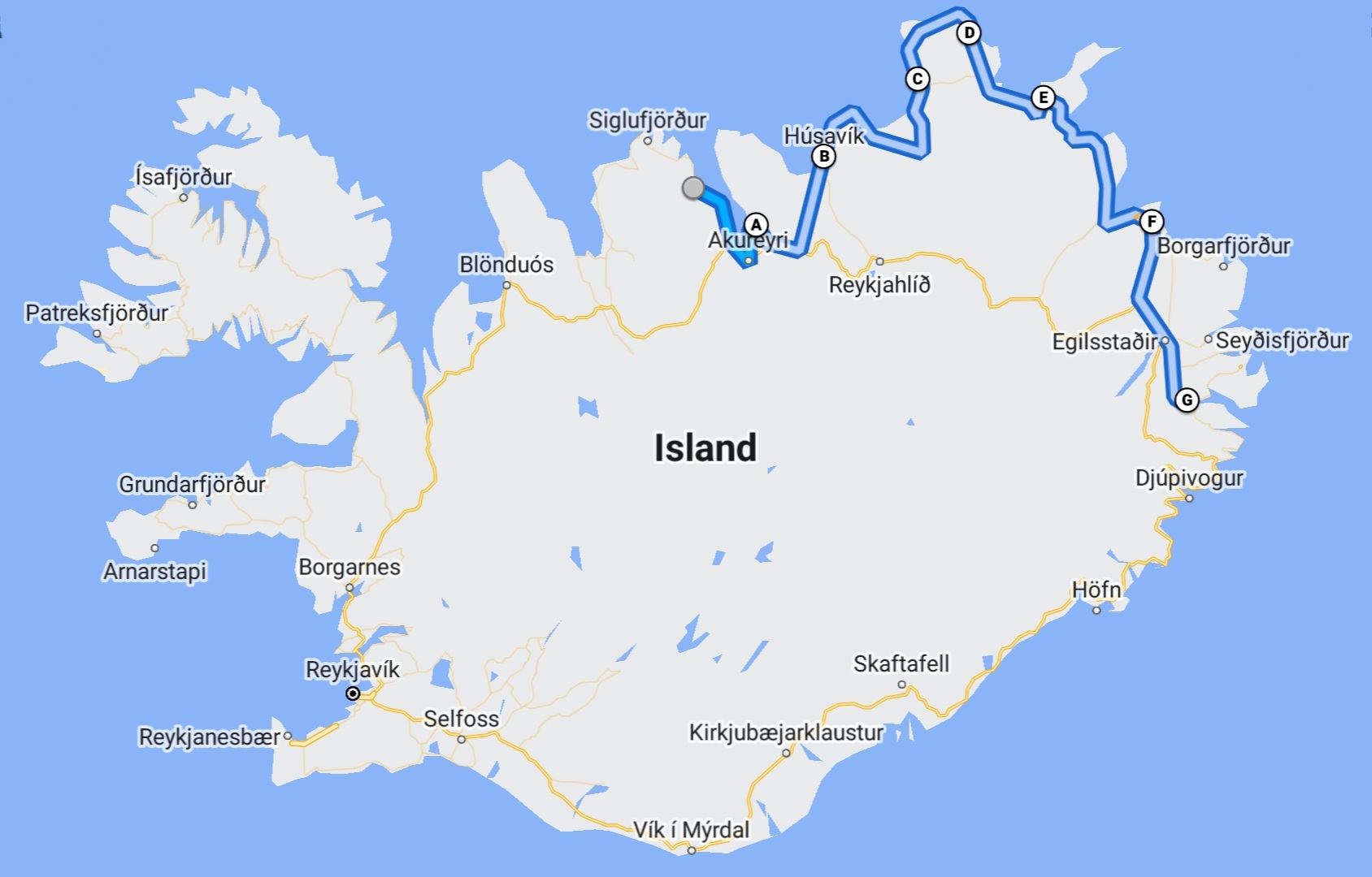
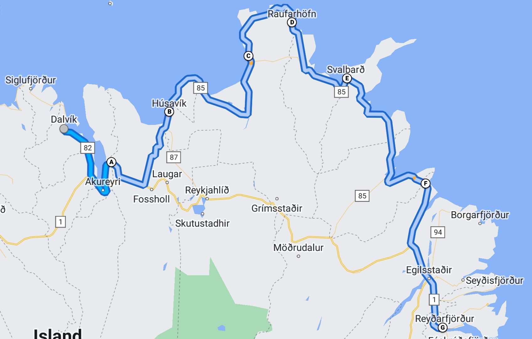
We didn’t do anything exciting these three days, but because this is our diary, I don’t want to neglect them. Our route:
Wir unternahmen nichts interessantes an diesen drei Tagen, aber weil dies unser Tagebuch ist, möchte ich sie nicht unterlassen. Unsere Route: